Leave the [A5] motorway at the Pont-Saint-Martin exit and turn right. After 100m, you’ll come to the first roundabout: take the second exit and continue on the . After 350m, at the second roundabout, take the third exit onto the towards the Gressoney Valley. Follow the for 26.8 km (27.2 km), passing through the villages of Lillianes, Fontainemore, Issime, Gaby and Gressoney-Saint-Jean. Turn right to stay on the and continue for a further 2.2 km (29.4 km) to the hamlet of Tschemenoal.
Car park
Just past the hamlet of Tschemenoal, there is a free 🅿️ car park by the side of the road, which is the starting point of the route.
Access by public transport
The location is served by public transport 🚌. For up-to-date timetables and routes, visit aosta.arriva.it.
The directions provided were verified on the date the route was mapped. Before setting off, we recommend checking for any changes to the route or road conditions. For up-to-date information, please consult Google Maps or Apple Maps.
Introduction
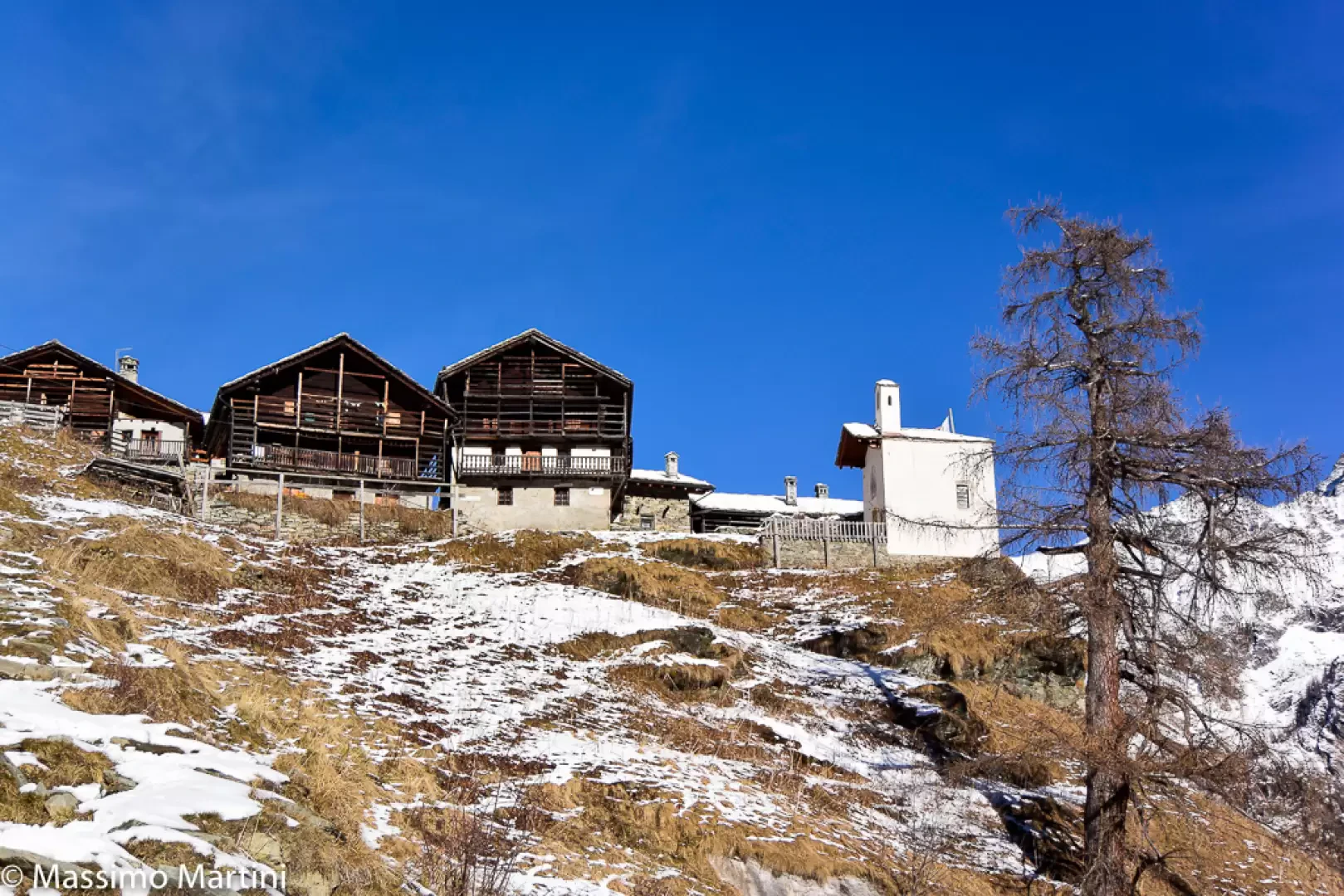
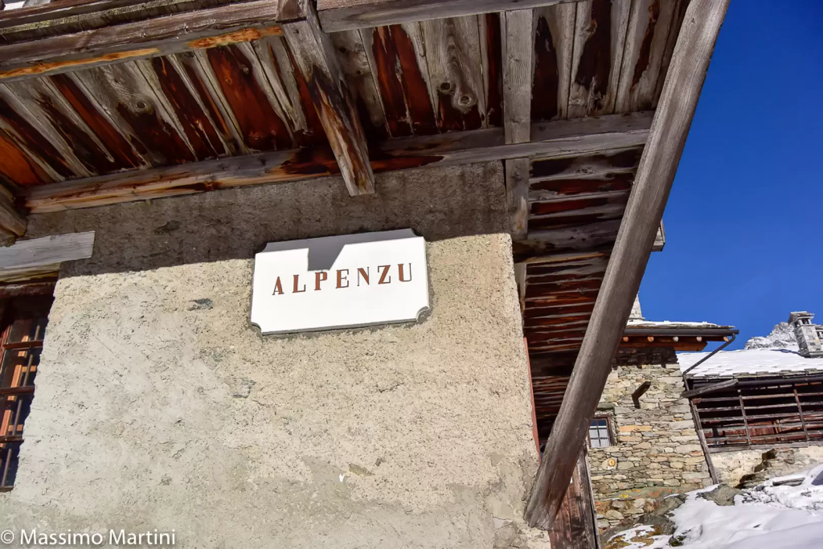
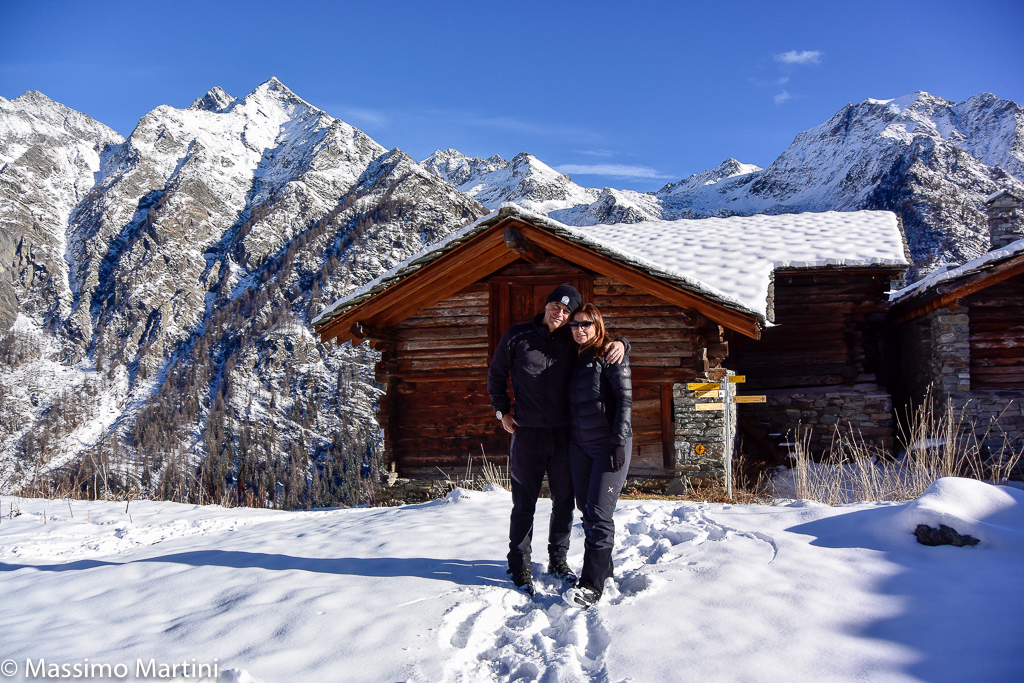
A beautiful walk along a route facing east and therefore mostly sunny. Reaching the village of Alpenzù makes every effort worthwhile, thanks to its traditional charm and the fantastic panoramic cirque in which it is set.
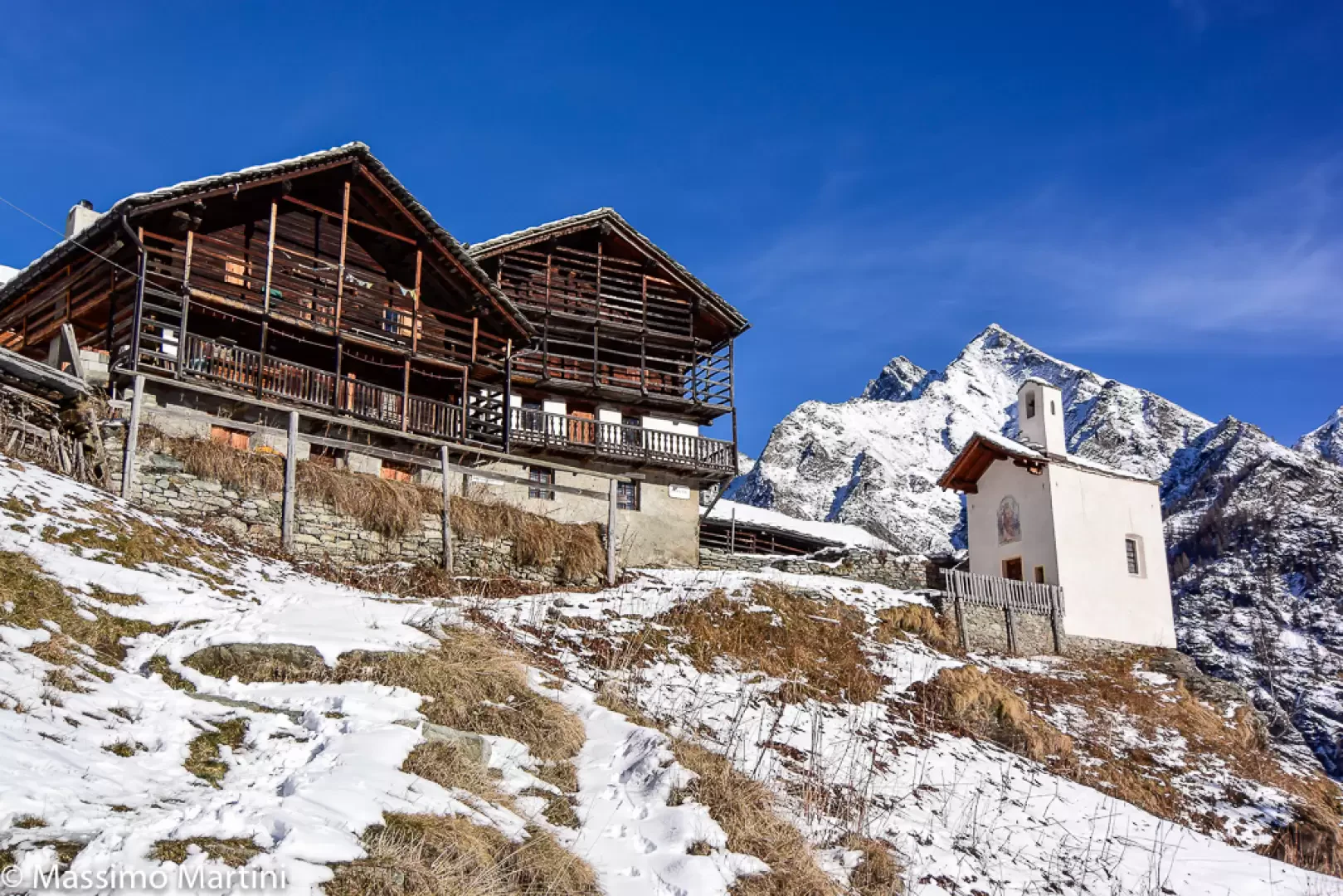
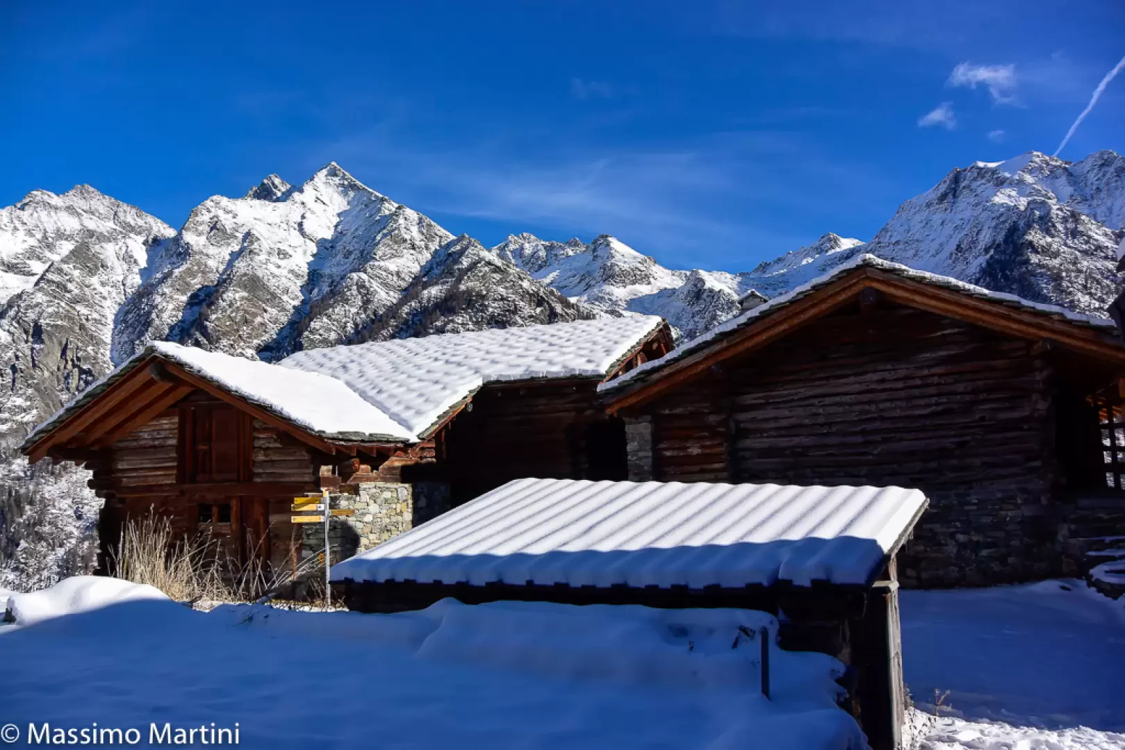
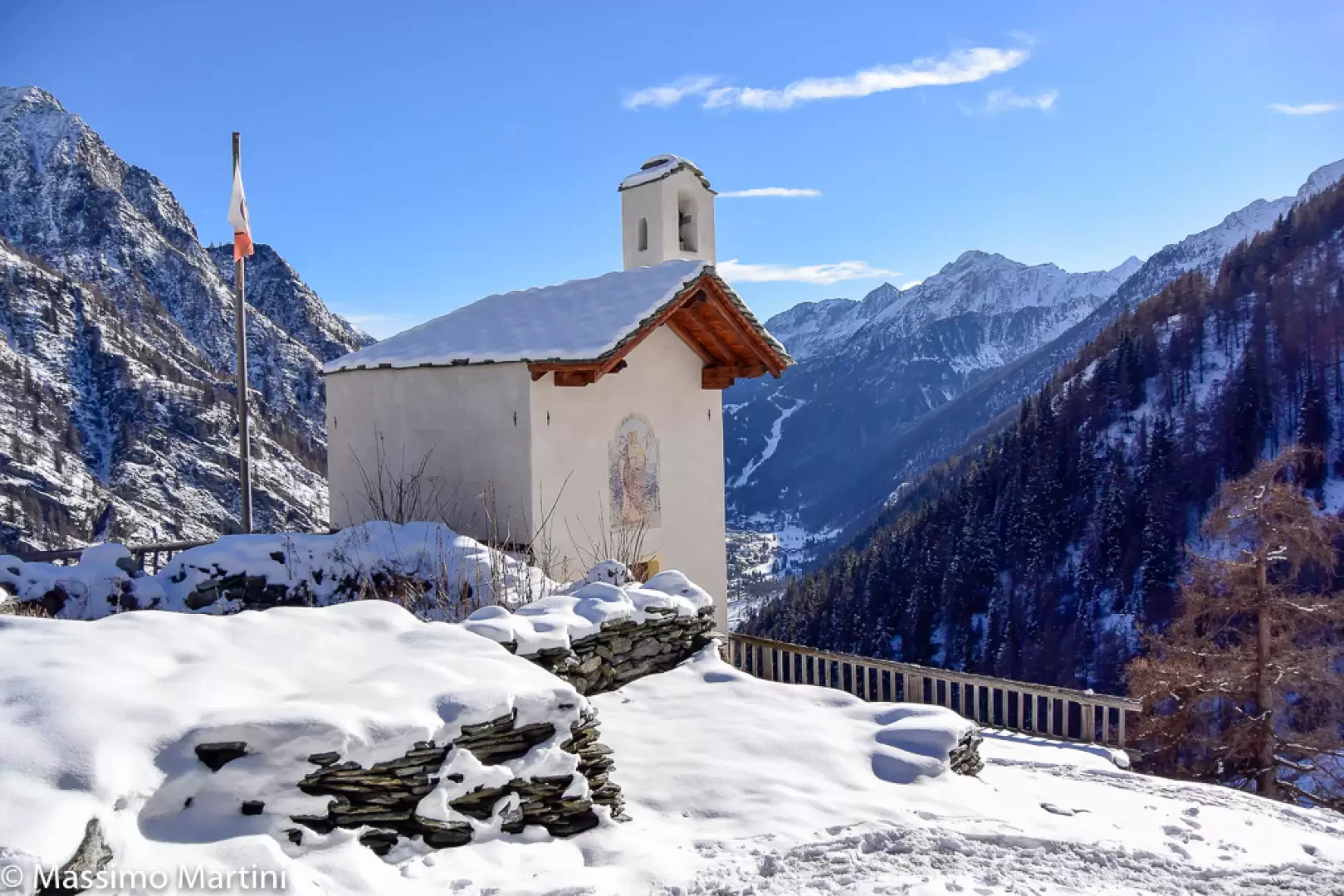
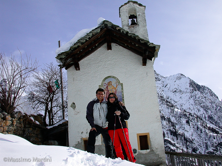
This village is like a small ethnographic museum; indeed, you can admire the beautiful stadel, a restored bakery and the charming chapel. The Alpenzù Mountain Hut is also located in the village, although it does not currently have a winter lounge.
Objective danger: where there is little snow, patches of bare ice are exposed
Description
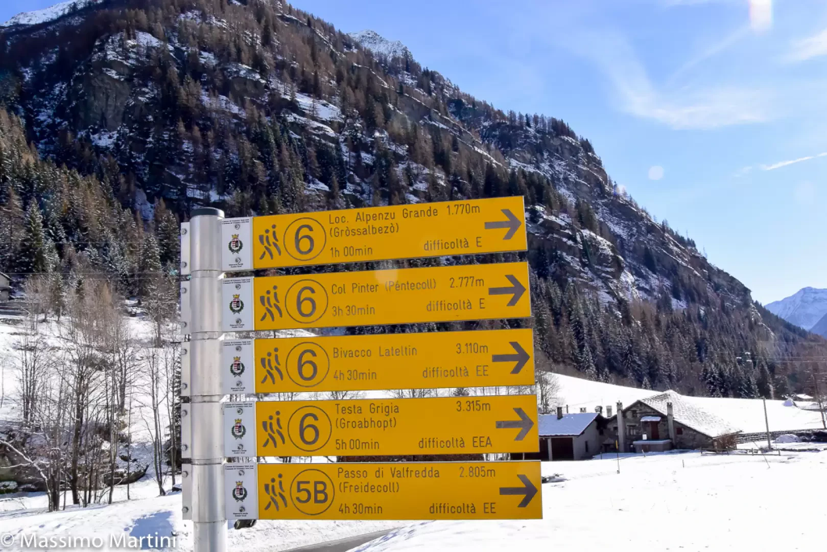
0h00' Leave your car in the car park by the side of the road, then walk briefly up the small path leading to the signposts. Turn right onto the summer path
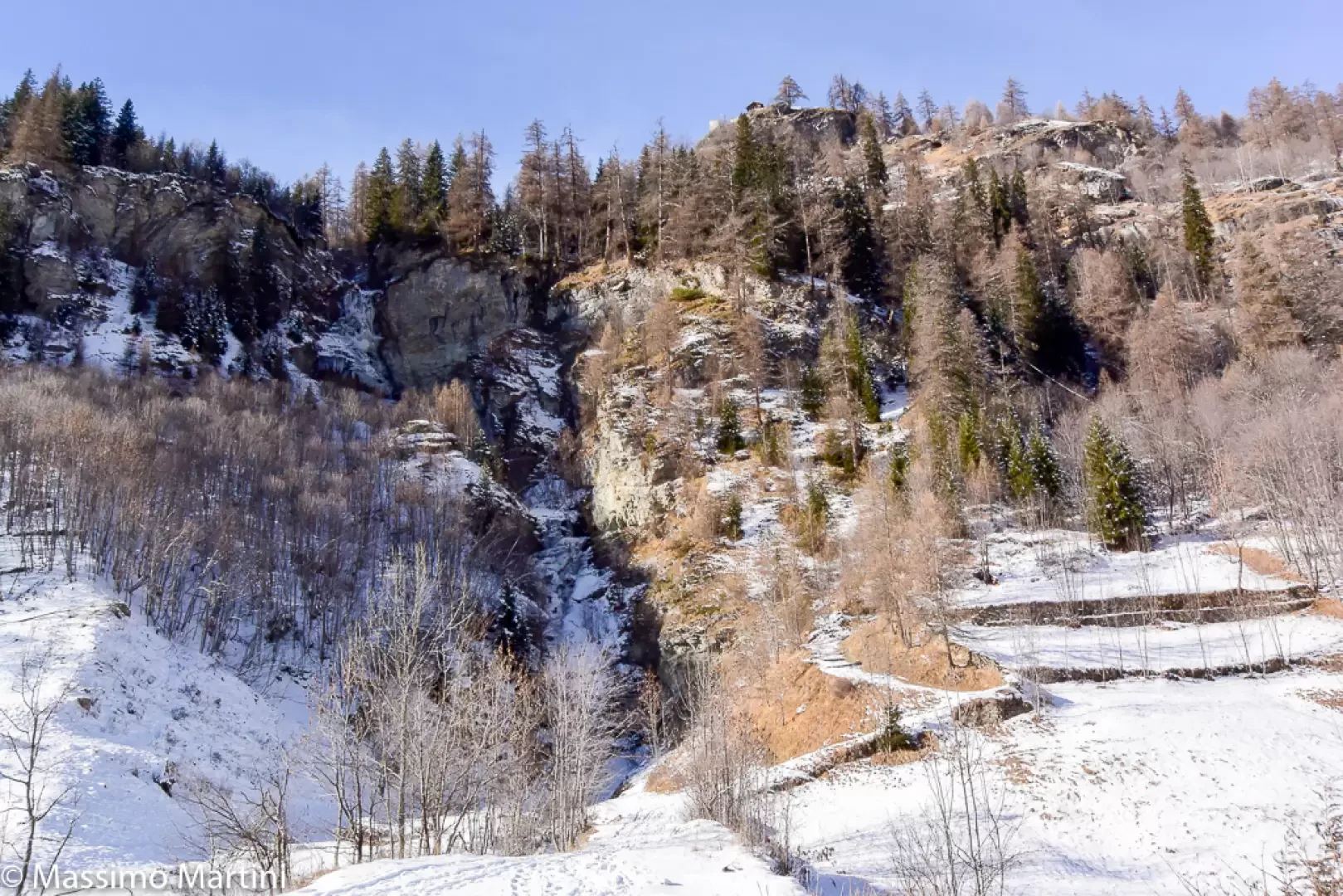
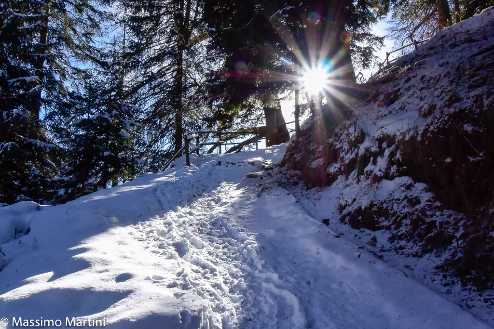
, heading towards the icefall situated opposite the start; after about a hundred metres, the path turns right and begins to climb the steep slope via a series of hairpin bends. You enter the deciduous woodland, which in winter offers glimpses of the surrounding peaks. Continue first along the ascending hillside to the right, then take a series of sharp bends that quickly gain altitude before reaching some benches situated at a panoramic viewpoint (1526m).
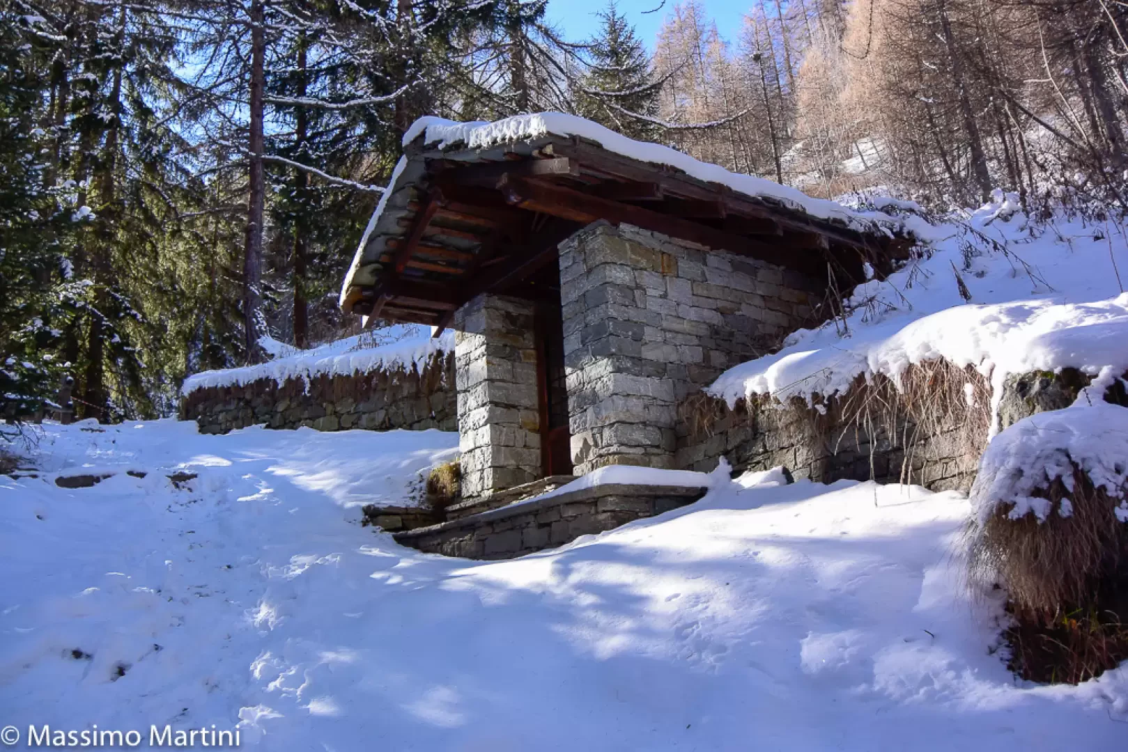
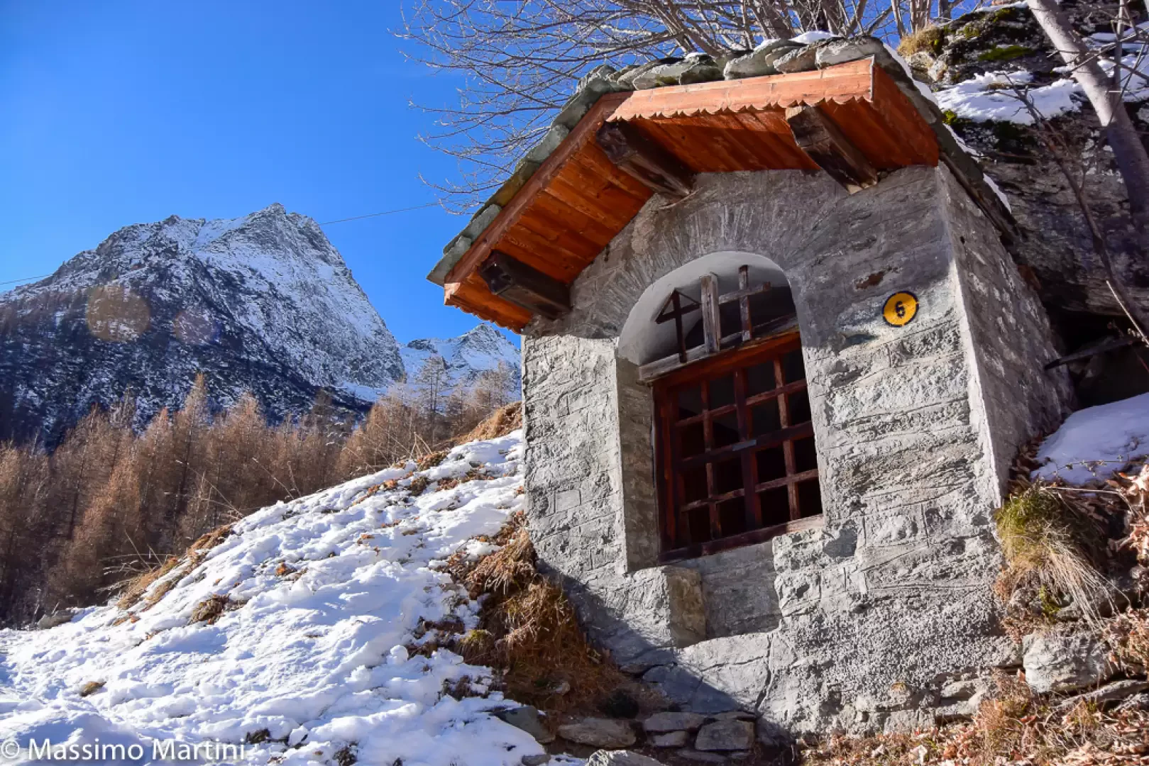
0h15' Once past the benches, the path, flanked by railings, turns left: here the woodland thins out, opening up splendid views over Gressoney-Saint-Jean below. The path then, which remains clearly visible even under the snow, veers left, passing a characteristic stadel and, shortly afterwards, skims past a votive shrine just before reaching a junction (1,584 m)
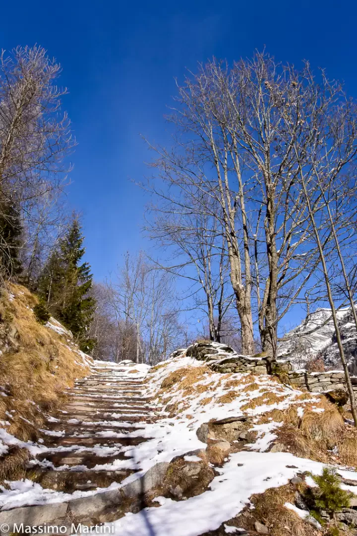
0h30' Ignore the path to the left and carry on straight ahead, still following the trail marker (6vda), along the mule track flanked by dry stone walls until, after a few bends, you reach a ruin perched on the rocky flank of the slope (1655m).
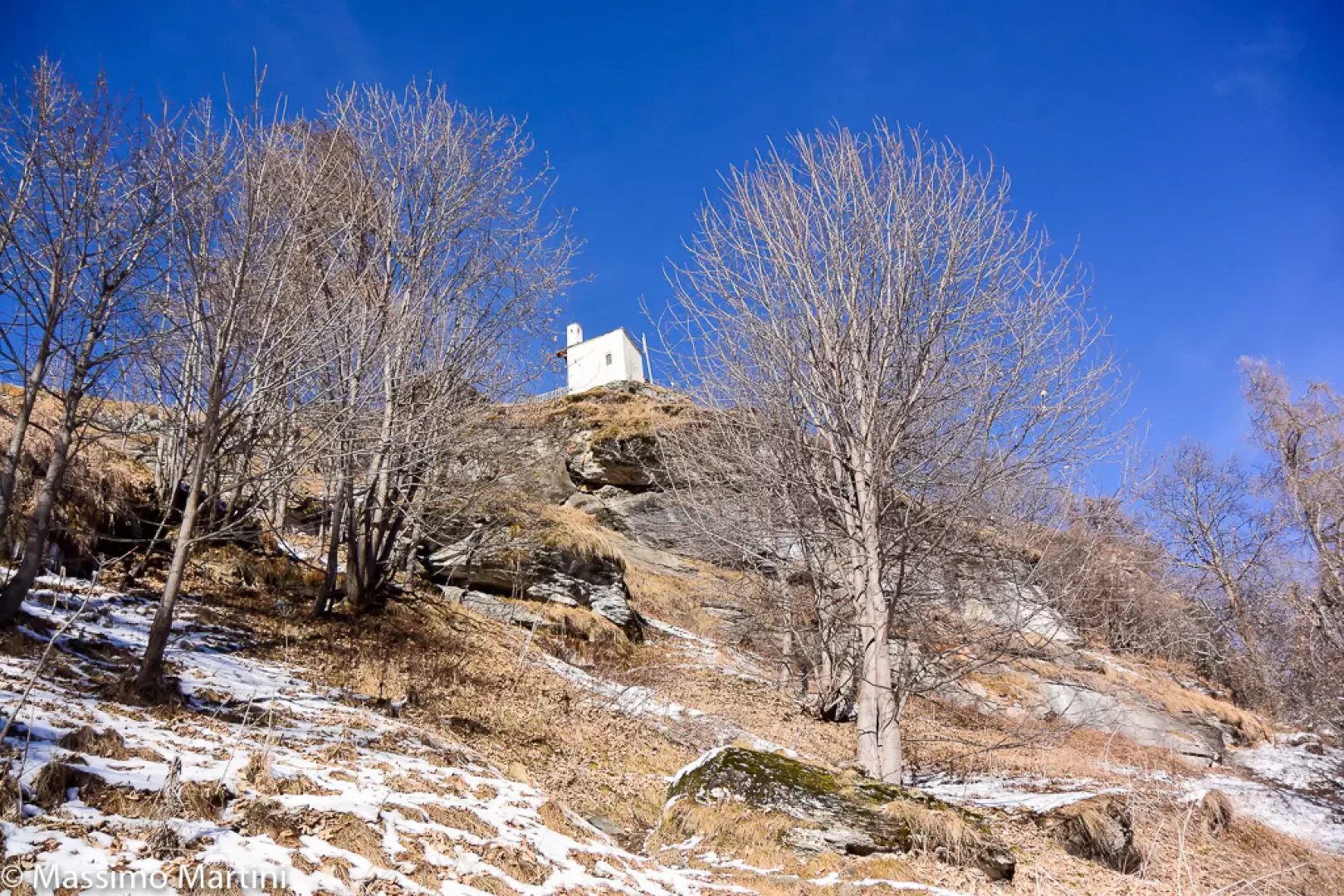
0h40' Pass the ruins of the mountain pasture and, after skirting a small stream, take a few bends whilst the village’s beautiful chapel comes into view above your heads. Cross another short stretch of woodland, after which you enter the pasture below the village; once past a second wayside shrine (1,702 m), head diagonally to the left until you come to an old mule track: finally turn right, as the characteristic Walser hamlets and the picturesque Chapel of St Anne come into view. From here, in a few minutes, you reach the village of Alpenzù and the refuge of the same name situated within the village (1,779 m) 1h00' 💧.
The descent follows the same route as the ascent 0h30'.
Sfruttando la bella giornata dell'Epifania abbiamo scelto come meta il caratteristico villaggio di Alpenzù per una gita senza troppo impegno temporale. Giunti alla partenza dell'itinerario abbiamo optato per il non utilizzo delle ciaspole in quanto la neve era veramente poca pertanto la salita è avvenuta senza particolari problemi. In discesa era necessario prestare attenzione al ghiaccio formatosi sul sentiero.
Informazioni generali
Condizioni via o sentiero: alcuni tratti ghiacciati Pericolo Oggettivo: nessuno Tratti esposti: nessuno Rischio valanghe: 1 su una scala da 0 a 5 Affollamento: discreto... non si era soli
Condizioni meteo
Cielo: sereno Temperatura: gradevole, tra 0 e 5° Condizioni neve: poca neve sul sentiero, non necessario l'uso delle ciaspole

Comments (0)
Sign in to leave a comment